
Data analysis related to population density map imagery to identify rural water treatment station acquisition targets
Anmeldeschluss
Projektstart
Projekt Ende
KWSH would like to analyze population density images in a way that is useful in identifying promising opportunities to either (1) acquire and expand existing water treatment stations, (2) develop greenfield stations, or (3) extend pipeline networks from stations we already own.
Background on Khmer Water Supply Holdings (KWSH)
KWSH is consolidating Cambodia’s rural water treatment operators. KWSH employs engineering, financial management, marketing, governance, and other resources in its central holding company. After acquiring rural water operators that are often run informally as family business, KWSH deploys financial resources and quality human capital that are typically unavailable in Cambodia’s rural countryside. This allows KWSH to improve operational efficiency, quality standards, customer service, and build out the pipeline network to reach more customers.
KWSH currently owns five water stations and provides affordable, clean piped water to roughly 65,000 rural Cambodians.
- A database of population clusters able to be segmented with parameters such as GPS location, location within specific Cambodian province/commune/village, population density
- The ability to cross-reference the above database against our current database of private water operators and their jurisdictions.
- Database of private water operators and which communes their licenses cover
- QGIS map with layers for population density, bodies of water, Cambodia administrative boundaries corresponding to water license areas
- William Puyo (GM of KWSH)
- Andrew Durke (COO of OBOR Capital [investor and project sponsor of KWSH])
- Max Thornton (Analyst at OBOR Capital)
- Knowledge of target population density patterns based on 4-year history of operating 5 water stations
Meilensteine
Meilenstein 1:
- Phase 1: Übersetzung von Bildern zur Bevölkerungsdichte in quantifizierbare Ergebnisse (d. h. innerhalb dieses Polygons oder Verwaltungsgebiets gibt es 3 Bevölkerungscluster mit einer Bevölkerungsdichte von über X Einwohnern/km² und einer Gesamtbevölkerung von Y Einwohnern)
Meilenstein 2
Phase 2: Entwicklung der Fähigkeit, die Datenbank nach bestimmten Parametern abzufragen, die auf attraktive Akquisitionsziele hinweisen.
Fertigkeiten
Muss haben
Sprachen
Muss haben
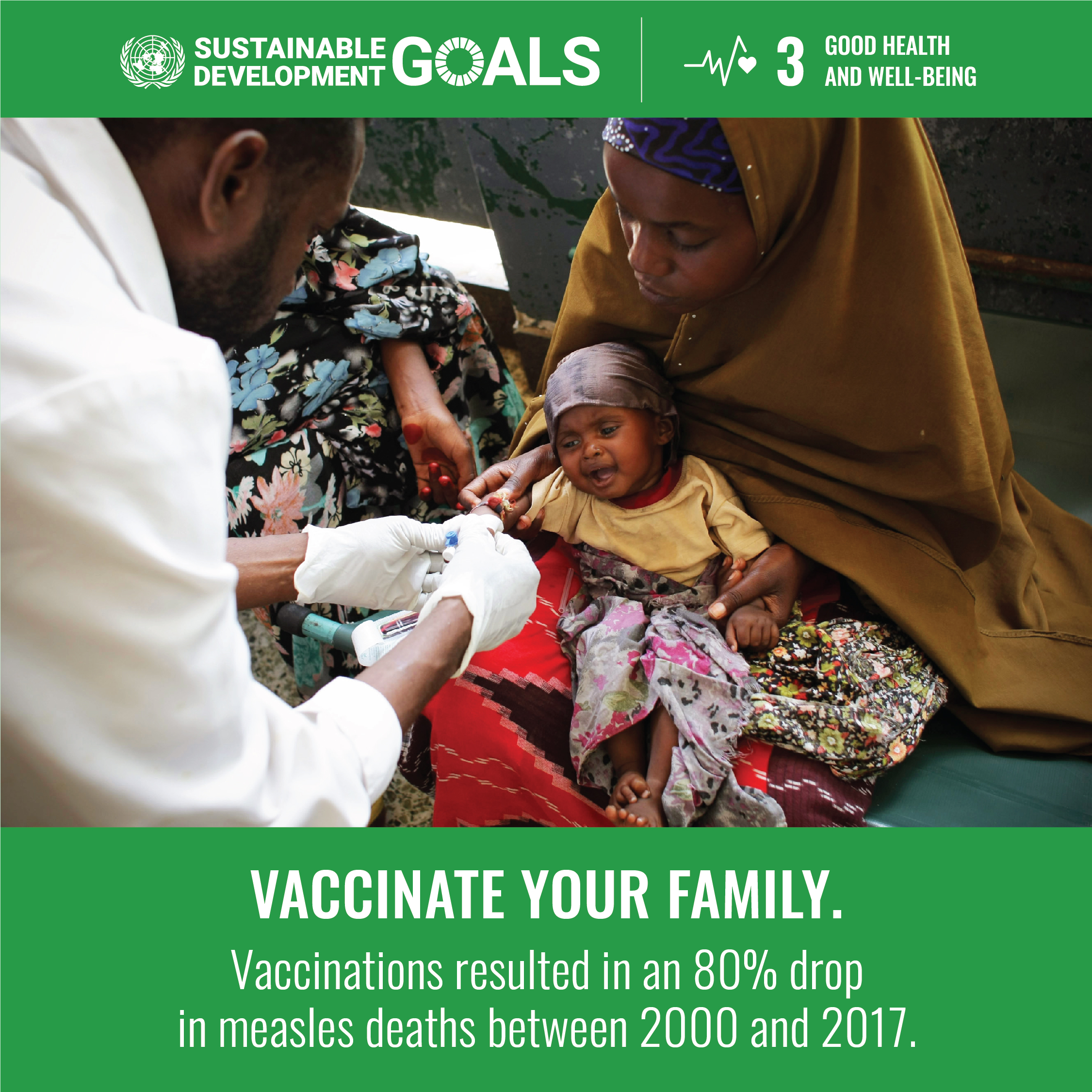
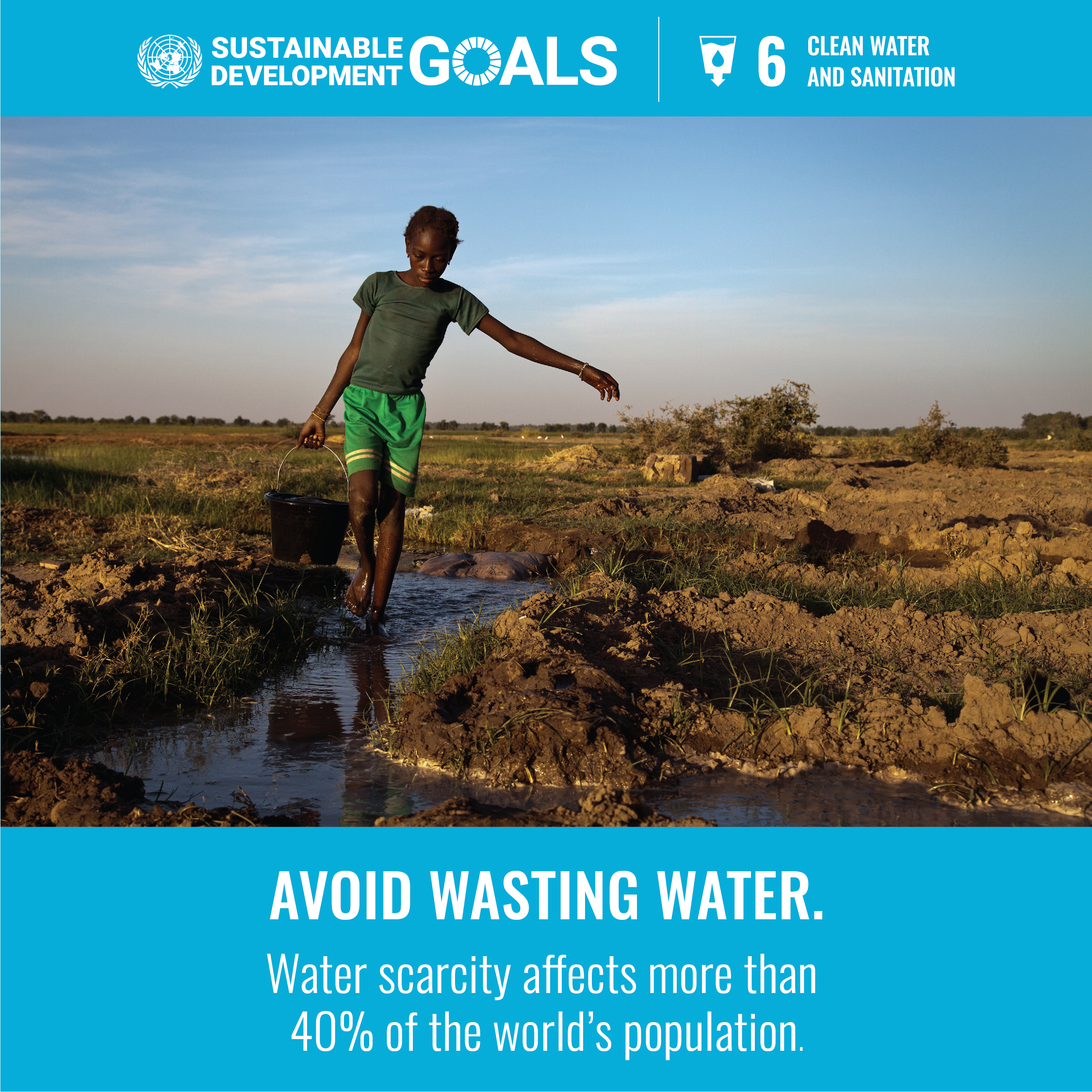
UN SDGs unterstützt


USAID Regional Investment Support for Entrepreneurs (RISE)
RISE is managed by Swisscontact. The mission of Swisscontact is as follows:
We promote inclusive economic, social and ecological development to make an effective contribution towards sustainable and widespread prosperity in developing and emerging economies.
With this objective in mind, we offer the chance to economically and socially disadvantaged people to improve their lives on their own initiative.
Geschrieben von
/637309462180187805.jpeg "USAID Regional Investment Support for Entrepreneurs (RISE)")